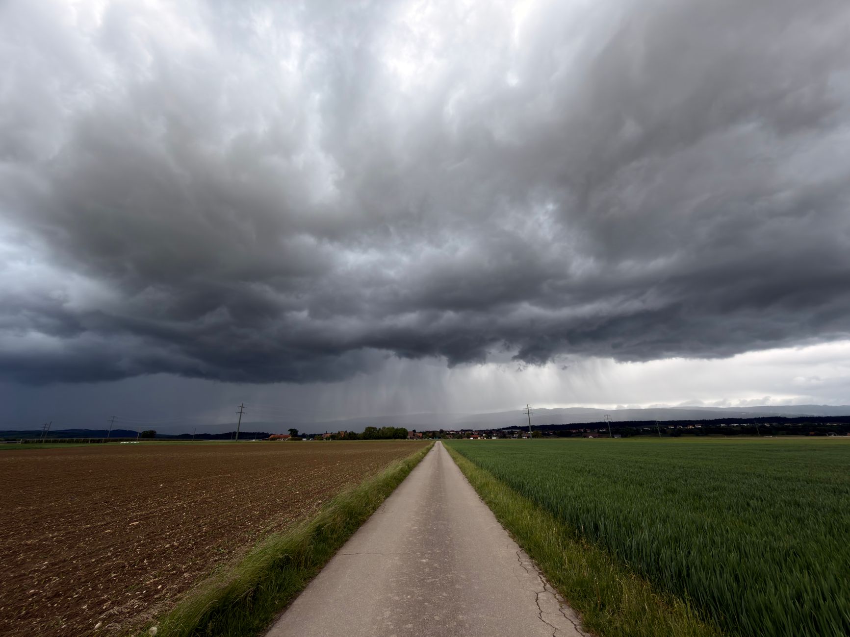
According to MeteoMira's monthly forecast, September in Portugal should begin with high temperatures and a scenario still very close to summer, with particular emphasis on the thermal rise between September 2nd and 5th, with fog possibly appearing in some coastal areas. From the 4th onwards, localized thunderstorms may appear, although irregularly and without representing widespread rain.
The first more significant change is expected at the transition to September 10th and 11th, when lower geopotentials and greater atmospheric instability may arise, allowing the approach of some fronts. The North and Center should be the most affected regions in an initial phase, while the South should maintain little or no significant precipitation until approximately mid-month.
The most marked change is forecast for the second half of September, particularly from the 18th. A system with subtropical characteristics may approach west or southwest of the Iberian Peninsula, while the anticyclone tends to move north of Western Europe, favoring a southwest circulation and greater moisture arrival. The Center and South of mainland Portugal should be the most affected regions, with possible showers, thunderstorms and instability lines, with September possibly ending with rainfall values above normal in several localities south and east of the Montejunto-Estrela system.
In the Azores, instability should increase significantly around the 4th, with periods of rain and possibility of thunderstorms during the first fortnight. In Madeira, the beginning of September will bring a north or northeast circulation, favoring greater cloud cover on northern slopes and showers, with new possibility of instability in the second half of the month. MeteoMira warns that, as this is a monthly forecast, there is high uncertainty associated with these projections.