A weather change is coming in Portugal: rain and temperature drop will hit these regions on this dayPhoto by franky1st on Pexels
WeatherFaro

A weather change is coming in Portugal: rain and temperature drop will hit these regions on this day

Postal do Algarve8 September 2026 at 16:10

After a start of September marked by high temperatures and new heat records in several regions of the country, the weather in Portugal will undergo significant changes on Wednesday, September 9th. According to the forecast from the Portuguese Institute of the Sea and the Atmosphere (IPMA), rain should return to the mainland, concentrating mainly in the Centro region, where periods of light rain are expected until mid-morning.

Precipitation is not expected to affect the entire national territory, and in the rest of the country the main feature will be cloudiness in the early hours of the day. From mid-morning onwards, the trend is for a gradual improvement in weather conditions, with the sky becoming partly cloudy or even clear. Generalised rain is not forecast for mainland Portugal.

The rain will be accompanied by a small drop in maximum temperatures, which should be felt in the interior of the Norte and Centro regions and also in the Sul region. This decrease represents a change from the high values that marked the beginning of September, although it should not be pronounced. The wind will also gain strength, blowing from the north between 30 and 40 km/h on the western coastal strip from the afternoon onwards.

In the Madeira archipelago, the scenario will be different, since no rain is forecast for Wednesday. The sky should be partly cloudy or clear, although greater cloudiness may appear on the north slope and in the highlands. Here too, maximum temperatures will register a small drop, more evident in the highlands.
Related articles

Porque caiu granizo tão grande no norte do país? IPMA explica conjugação de fenómenos extremos
Weather

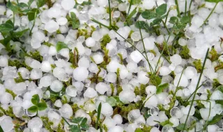
Why did such large hail fall in the north of the country? IPMA explains combination of extreme phenomena

IPMA explained that the combination of high humidity and differences in wind speed favored the formation of clouds with large vertical dimensions, ideal conditions for the creation of large-sized hailstones that hit the north of the country.

SIC Notícias08/09/26, 17:48
Anticipar salidas, hidratación o ventiladores de mano: así combatirán el calor los centros de Castellón tras el 'parche' del plan de choque de Educación
Weather

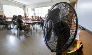
Advancing dismissal times, hydration or hand fans: this is how schools in Castellón will fight the heat after Education's shock plan 'patch'

With almost 99,000 students in the province of Castellón about to start the school year, several classrooms are already exceeding 30°C, reaching 34°C at CEIP Censal in Castelló, while maximum temperatures reached 38°C in the southern interior of the region. Faced with this situation, educational centers are implementing measures such as anticipating student departures, reinforcing hydration and distributing hand fans, after the action plan presented by the Education Council was considered insufficient by teachers and parent associations (Ampas).

El Periódico Mediterráneo - General08/09/26, 17:02
Downburst em Aveiro
Weather

Downburst in Aveiro

IPMA analyzed the meteorological instability phenomenon that occurred on September 5, 2026, causing large hail and strong winds in the district of Aveiro. The combination of various atmospheric factors favored the occurrence of thunderstorms and heavy showers in different areas of the North and Center of the country.

SAPO Notícias08/09/26, 16:50
Weather

The NHC Confirms That the Start of the Atlantic Hurricane Season Was the Calmest in at Least 60 Years

The National Hurricane Center (NHC) confirmed that the start of the Atlantic hurricane season was the calmest in at least 60 years. Since the beginning of the year, only five tropical storms formed, all of short duration, and satellite images from September 5 showed no cyclonic activity in the Atlantic basin, which remained relatively clear, with only some Saharan dust to the east. While three hurricanes were ravaging the Pacific, the Atlantic continued eerily quiet even as the peak of the season approached on September 10. The calm is such that a record may soon be broken, with September 12 being the latest date on which a hurricane formed in the Atlantic. Since the beginning of satellite records in 1966, only seven years have had no hurricane in September.

Meteored Portugal08/09/26, 16:15