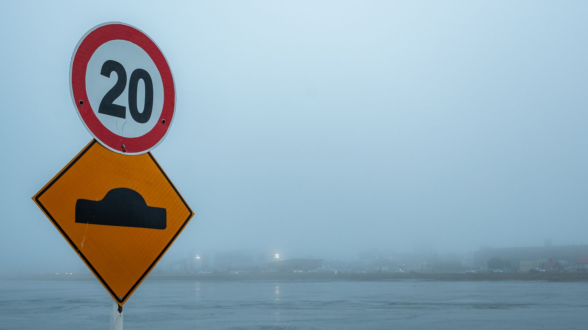
Rain and winds up to 60 km/h won't let go of Portugal on this day and this is going to be the most affected regionPhoto by Alex Dos Santos on Pexels
WeatherFaro

Rain and winds up to 60 km/h won't let go of Portugal on this day and this is going to be the most affected region

Postal do Algarve2 September 2026 at 16:00

The approach of the weekend will be marked by a change in weather conditions in Portugal, with increased cloud cover, periods of rain and strengthening winds, although differently across the various regions. On Friday, September 4, rain should mainly affect the Western and Central groups of the Azores, with the most adverse scenario reserved for the westernmost islands.

On the islands of Flores and Corvo, the sky will be generally very cloudy throughout Friday, with periods of rain and southwest wind between 20 and 40 km/h, with gusts potentially reaching 60 km/h. In the Central Group, where the islands of Terceira, Graciosa, São Jorge, Pico and Faial are located, the morning may still have some bright spells, but the sky will become progressively overcast, with rain expected mainly from the afternoon onwards and wind between 10 and 30 km/h.

The extended forecast from IPMA for the Azores indicates that the first week of September will be wetter in the Western and Central groups, with precipitation values between 1 and 10 millimeters above normal between August 31 and September 6. The Eastern Group, comprising São Miguel and Santa Maria, should have below-normal precipitation during this period.

In mainland Portugal, the forecast scenario for Friday will be quite different. The sky will be initially mostly clear, gradually increasing in cloudiness from mid-morning, but with no forecast of rain. The wind will be generally light, potentially reaching 30 km/h on the western coastal strip during the afternoon, and mist or fog is still expected in some locations on the west coast, dust in suspension and a slight rise in minimum temperature.

Related articles

Weather

Atlantic depression arrives in the Azores on Friday: these will be the most affected islands

An Atlantic depression is expected to affect the Azores between Friday and Sunday, bringing rain, intense wind and worsening sea conditions. The Western Group, composed of the islands of Flores and Corvo, will be the first and most affected, with forecast of rain, thunderstorms, strong winds and waves close to 5 meters. The Central Group should also feel significant effects, while São Miguel and Santa Maria should be further away from the most active phase of the system. Atmospheric instability will be favored by the entry of cold and unstable air at altitude, with more intense showers expected between Friday afternoon and Saturday dawn.

Meteored Portugal02/09/26, 16:21
Weather

Beja under yellow warning with temperatures exceeding 40 degrees from Thursday onwards

The district of Beja is under yellow warning due to intense heat, with temperatures expected to exceed 40 degrees from Thursday. At the region's river beach, several bathers and families take advantage of vacation days to enjoy the water and try to escape the extreme heat.

Now02/09/26, 15:54
Calor está de volta. Termómetros deverão ultrapassar os 40 graus esta quinta-feira
Weather

Heat is back. Thermometers expected to exceed 40 degrees this Thursday

Heat is returning to Portugal, with thermometers expected above 40 degrees this Thursday. Fourteen mainland districts are under yellow warning due to intense heat, both on Thursday and Friday.

SAPO Notícias02/09/26, 15:46
Weather

Hungary: Water level at historic lows sinks tourism at Lake Velence

In Hungary, the water level at Lake Velence reached historic lows, causing severe impacts on local tourism. Several beaches did not open during the bathing season, and at those that did operate, demand was practically non-existent. At the end of summer, extensive areas of the bottom of the country's third-largest lake were completely dry, highlighting the severity of the situation.

Euronews Portugal02/09/26, 14:51