IPMA places seven districts under yellow warning until 21:00 today due to heat
WeatherBejaSetúbalCastelo BrancoLisboaFaroÉvoraPortalegreMadeira

IPMA places seven districts under yellow warning until 21:00 today due to heat

dnoticias.pt7 September 2026 at 07:52

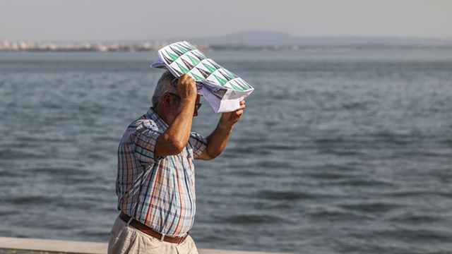
The Portuguese Institute of the Sea and the Atmosphere issued a hot weather warning for seven districts of mainland Portugal, valid until 21:00 today. The covered districts are Beja, Castelo Branco, Évora, Faro, Lisbon, Setúbal and Portalegre.

The yellow warning was issued due to the high maximum temperature values recorded in these regions, according to information provided by IPMA in a statement.

In addition to the mainland districts, IPMA also placed the south coast of Madeira island and Porto Santo under yellow warning. In these areas, the warning is due to the persistence of high maximum temperature values between 09:00 today and an unspecified time in the article.

The yellow warning is the second lowest level on a three-level meteorological warning scale, indicating situations of risk for certain activities dependent on weather conditions.


Related articles

Weather

Weather this week: rain returns and temperatures drop, but briefly; from Thursday (10) there's a new change

The second week of September begins with warm and stable weather in mainland Portugal, with seven districts under yellow warning for hot weather until 9pm today: Castelo Branco, Portalegre, Lisbon, Setúbal, Évora, Beja and Faro. Temperatures can reach 39°C in Baixo Alentejo, especially in the Guadiana Valley, with thermal anomalies up to 9°C above average. However, rain returns tomorrow and a new change is expected from Thursday, the 10th.

Meteored Portugal07/09/26, 13:12
Weather

Up to 9°C less: between tomorrow and Wednesday, polar air will cause a sharp drop in temperatures

A mass of polar air should cause a sharp drop in temperatures in mainland Portugal between Tuesday and Wednesday, with differences that could reach 9°C. The high temperatures at the beginning of the week will start to drop on Tuesday in the North and on the coast, becoming more widespread on Wednesday. This change will be associated with a reorganization of the atmospheric circulation over the Iberian Peninsula, with an anticyclone in the Atlantic combined with a low pressure area at altitude over Europe, favoring a north and northwest flow that will transport polar air to Portugal.

Meteored Portugal07/09/26, 12:39
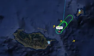
Vento forte condiciona operações no Aeroporto da Madeira
Weather

Strong wind conditions operations at Madeira Airport

Air operations at Madeira International Airport are conditioned due to strong wind gusts in the Santa Catarina area, with gusts reaching 69 km/h and average wind of 39.2 km/h coming from the Northern quadrant. The combination of wind intensity and direction is the most likely cause for the operational constraints.

dnoticias.pt07/09/26, 12:17
Chuva chega esta semana, mas por pouco tempo: calor volta com mais de 35ºC. Vê quando e onde
Weather

Rain arrives this week, but not for long: heat returns with over 35ºC. See when and where

Rain arrives in some regions of the country starting Tuesday, bringing with it a drop in temperatures. However, this weather situation will be brief: starting Thursday, thermometers will rise again and can exceed 35 degrees Celsius in various areas.

RFM07/09/26, 11:50