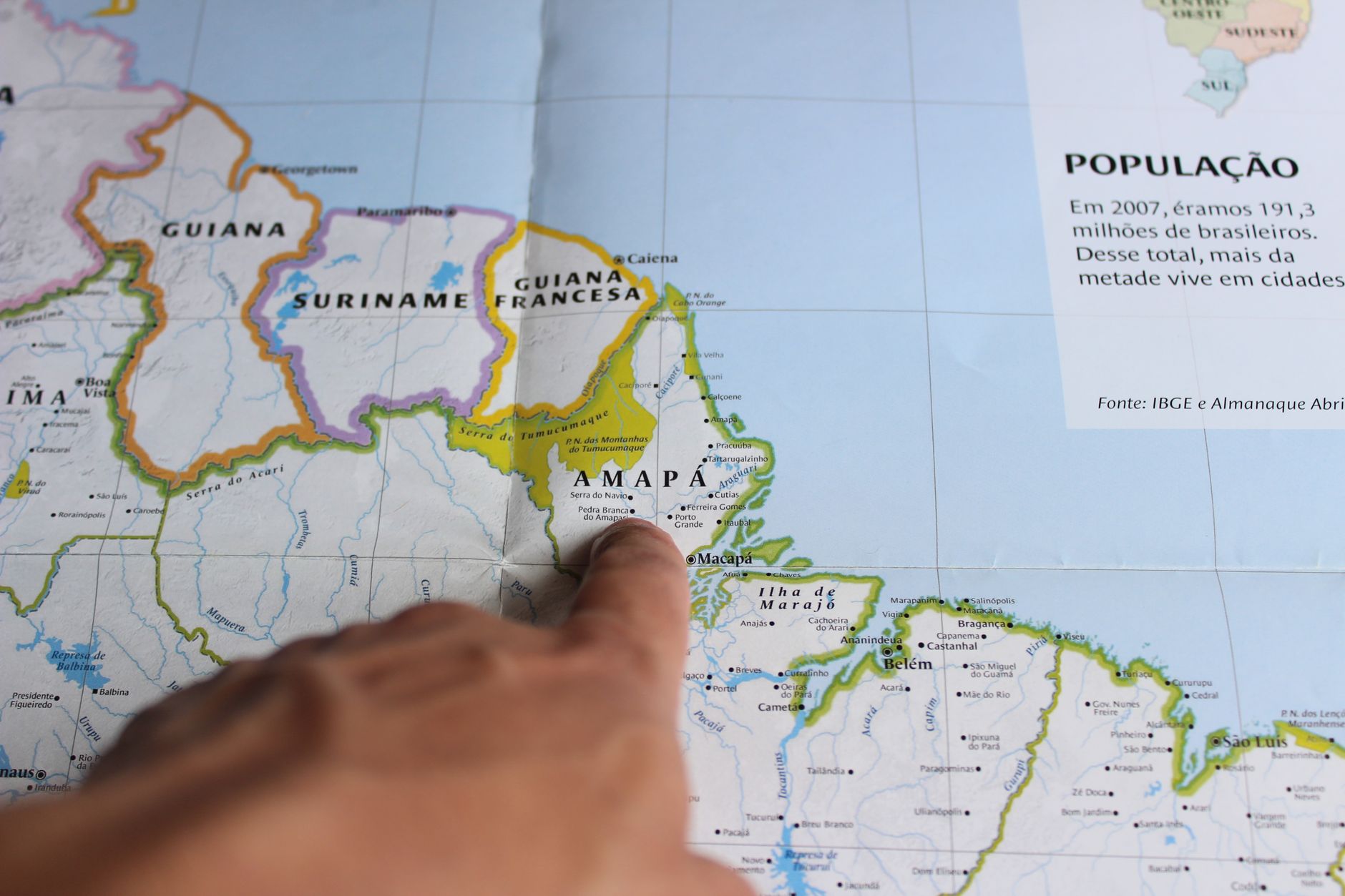
The United Nations Organization voted on a proposal that could change the way the world is represented cartographically. The central issue lies in the distortion of the dimensions of the continents caused by the traditional Mercator projection, a cartographic representation system developed centuries ago that continues to be widely used.
The Mercator projection, created in the 16th century, tends to exaggerate the size of land masses located near the poles, while minimizing the appearance of equatorial regions. This characteristic makes the African continent appear significantly smaller than it actually is, when in reality Africa is the second most extensive continent in the world.
The African continent is at the center of this proposal for change. The UN vote comes in the context of a broader debate about the need for more accurate and fair cartographic representations, which reflect more faithfully the actual proportions of world territories.
If the proposal is approved, it could represent a historic change in the way humanity visualizes the planet, potentially influencing geographic education, informational materials, and the global perception of the relative dimensions of continents and countries.