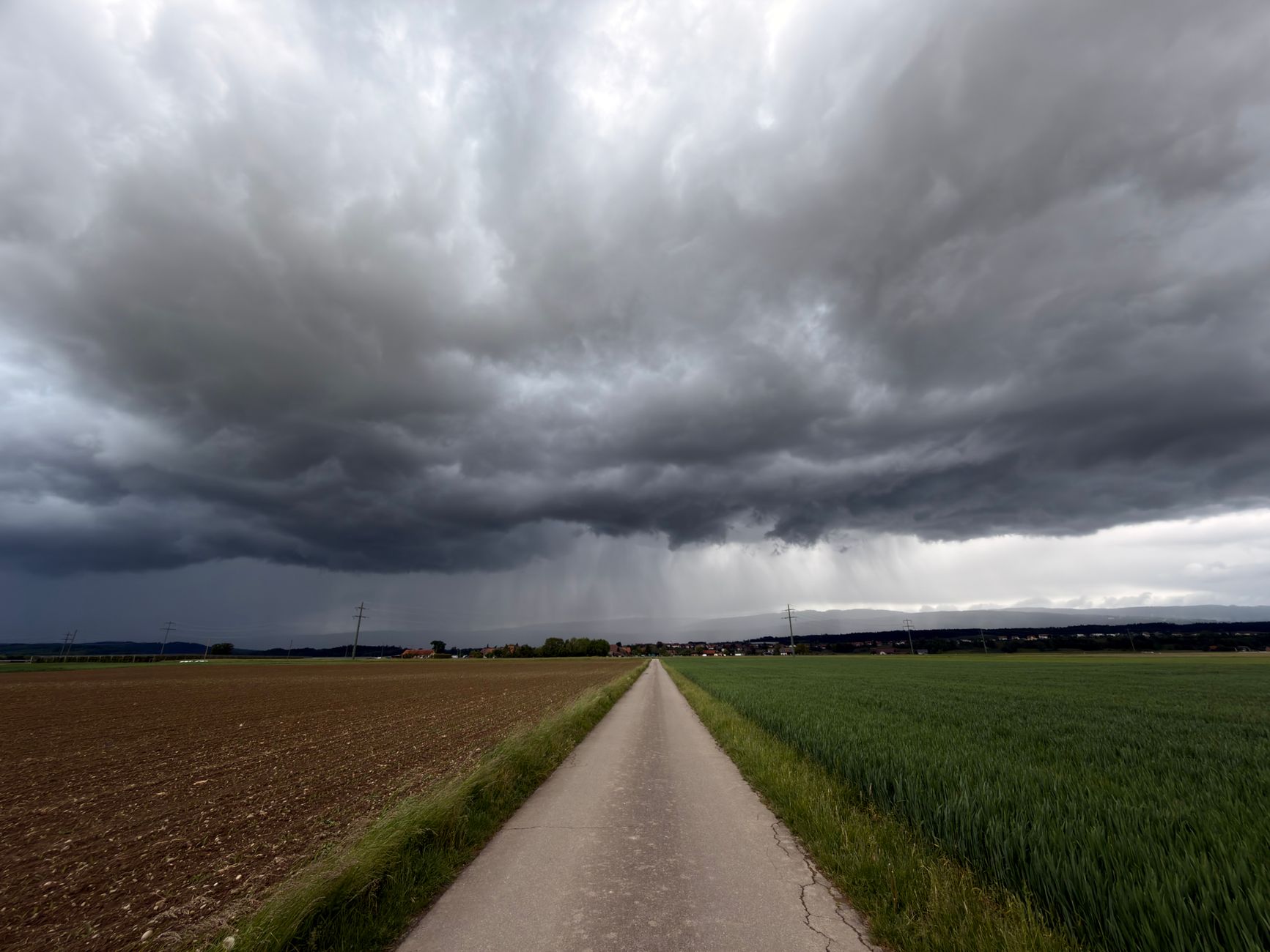
Portugal entered the climatological autumn this Tuesday, September 1st, and the European ECMWF model forecasts indicate a more dynamic period in meteorological terms. According to Alfredo Graça, a specialist from Meteored, autumn could bring the arrival of depressions, frontal systems and cold air pockets at high altitude, known as cold drops. However, these projections are seasonal trends and not guaranteed forecasts, as uncertainty increases significantly the further ahead one looks.
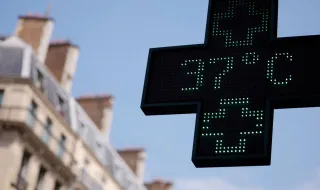
The first half of September should maintain conditions close to summer, with temperatures between 1 and 3°C above average across most of the mainland territory. Rain will be scarce in this initial phase due to the predominance of high pressure, although localized showers and thunderstorms may occur irregularly. In the second half of the month, weather maps begin to show a greater propensity for unstable weather, with the possibility of cold air pockets descending toward the Iberian Peninsula.
The Alentejo and the Algarve appear as regions with the most evident signs of above-normal precipitation in the second half of September, potentially affected by periods of rain and thunderstorm episodes. Madeira could also have a wetter second half of the month, while the Azores should show greater instability especially in the first half of the month, between September 7th and 14th. Autumn could be particularly unstable in October, with precipitation above the expected average for most of the Portuguese mainland, while in November the rain tends to shift more toward the North and Central coastal areas.
The autumn of 2026 also coincides with a potentially intense El Niño episode, although Alfredo Graça notes that the direct relationship between this phenomenon and the weather in Portugal is limited. More important mechanisms include the North Atlantic Oscillation and the position of the polar jet stream, which determine whether Atlantic depressions head toward the Iberian Peninsula or are deflected to higher latitudes. The forecasts may still undergo significant changes with the successive updates of the meteorological models.