Thunderstorms arrive in Portugal: before the calm comes rain, hail and gusts and these will be the affected regionsPhoto by Murat Aslan on Pexels
WeatherFaro

Thunderstorms arrive in Portugal: before the calm comes rain, hail and gusts and these will be the affected regions

Postal do Algarve5 September 2026 at 06:30

Mainland Portugal faces on Saturday, September 5th, a day of strong meteorological contrasts, with intense heat being felt while thunderstorms, rain and hail approach the territory. According to Meteored's forecasts, this will be the most unstable day of the weekend, with temperatures that could approach or reach 40°C in regions such as Bragança, Castelo Branco, Évora and Beja. Santarém could reach 37°C and Lisbon 35°C, while the North and Centre coast, under maritime influence, will have considerably lower temperatures, with Porto and Aveiro among the cities least affected by the heat.

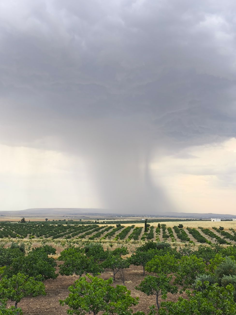
It is during the afternoon that the meteorological situation should worsen, with instability beginning in the northern interior and subsequently spreading to the central interior. The thunderstorms should cover a vast area, developing from North to South of the mainland territory, with greater activity expected in the North and Centre, where a high concentration of lightning strikes is forecast. Some showers could be moderate to heavy during short periods, with accumulations that locally could approach 8 mm in one hour. Localized occurrence of hail and strong gusts is not excluded, resulting from strong heating near the surface combined with colder and more unstable air at altitude.

Sunday brings a significant change in the weather, with instability losing expression and showers and thunderstorms ceasing to be protagonists. The heat begins to ease in several regions, with values close to 40°C no longer forecast. In Porto, the maximum could be around 23°C and in Aveiro around 22°C, while Lisbon should be around 30°C and Castelo Branco around 35°C. The temperature drop will be particularly evident on the North and Centre coast, while in the southern interior the heat will continue, although without the extreme values of previous days.

Monday and Tuesday should maintain a similar scenario to Sunday, with greater atmospheric stability and a marked contrast between the cooler coast and the still warm interior. The meteorological models do not anticipate, for now, a new significant episode of instability in these first days of the week. After a Saturday marked by heat, showers, thunderstorms and possible hail, Portugal should enter a phase of drier and more stable weather, although forecasts may change as the period in question approaches.


Related articles

Weather

Weekend marked by strong instability: thunderstorms intensify in the North and Centre from Saturday afternoon

Mainland Portugal faces a weekend of strong atmospheric instability, with intense thunderstorms forecast for the North and Centre regions from Saturday afternoon (starting at 3pm), caused by the thermal contrast between extreme heat at the surface and a cold air mass at altitude, which enhances the formation of convective cells with heavy rainfall, lightning and possible hail. Simultaneously, 14 districts remain under yellow warning due to high temperatures, with maximums ranging between 27°C on the coast and 38°C in the Alentejo. However, the storm episode will be short-lived, with substantial improvement expected by Sunday, when the sky will clear and temperatures will drop generally, especially on the coastal strip.

oRegiões05/09/26, 08:00
Weather

Will it rain on the second day of Rock in Rio? See the weather forecast for this Saturday at Cidade do Rock

The article reports on the weather forecast for the second day of Rock in Rio, this Saturday (5), warning that there is a 92% chance of rain, with temperatures between 20°C and 27°C and winds of up to 55 km/h. The text also mentions the Mundo Stage lineup, with shows by Sepultura, Machine Gun Kelly, Bring Me The Horizon and Avenged Sevenfold, as well as indicating that Sunday will have similar conditions with a minimum of 18°C and a maximum of 22°C.

extra05/09/26, 08:00
Poucas nuvens e vento moderado previstos para a Madeira
Weather

Few clouds and moderate wind forecast for Madeira

The Portuguese Institute for the Sea and Atmosphere (IPMA) forecasts for Madeira mostly clear skies, with light to moderate north wind between 10 and 30 km/h, and temperatures between 22°C and 27°C. In Porto Santo, temperatures will range between 22°C and 28°C, while in Funchal the sky will also be mostly clear with wind below 15 km/h.

dnoticias.pt05/09/26, 07:10
Weather

The ECMWF model maps forecast an atmospheric blocking trend for the second half of September

The European ECMWF model maps predict an atmospheric blocking pattern in the North Atlantic for the second half of September, with a higher probability of the Atlantic Ridge regime occurring. This blocking could close the Atlantic to storms, allowing high pressures to dominate much of the ocean. In Portugal, this configuration should translate into more stable, dry weather and above-average temperatures for the season.

Meteored Portugal05/09/26, 07:04