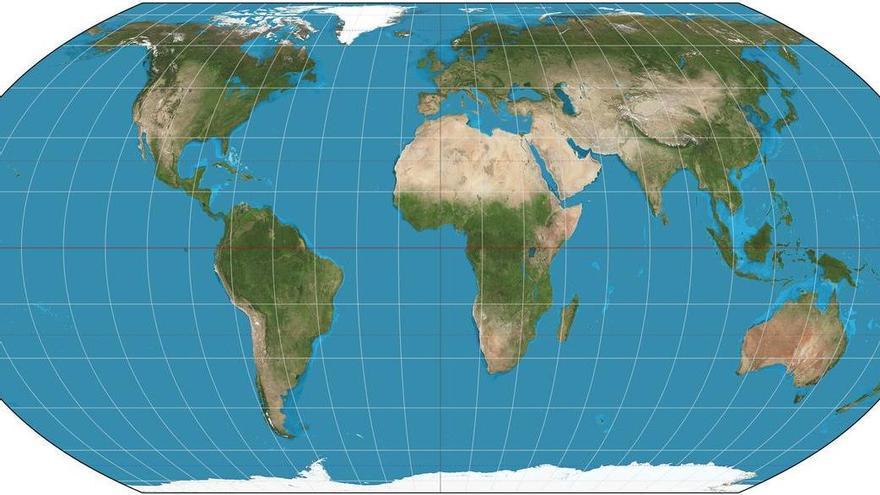
The United Nations General Assembly approved this Friday a resolution presented by Togo and supported by the African Union to abandon the use of Mercator maps projection. The decision seeks to replace the traditional world cartography system with one that more accurately shows the actual size of continents and regions.
The Mercator projection, developed in the 16th century by Flemish cartographer Gerardus Mercator, has been criticized for decades for distorting the proportions of territories. Continents like Africa and regions like Latin America appear smaller than they actually are in relation to territories like Europe and North America.
The resolution approved by the UN represents an effort to promote a fairer and more accurate geographic representation. The African Union was one of the main driving forces behind this change, arguing that traditional cartography perpetuates a distorted view of world geography that favors certain regions at the expense of others.
This UN decision marks a significant step in the modernization of international cartographic standards, although the practical implementation of the new projection may take time to become established in educational and navigation systems worldwide.