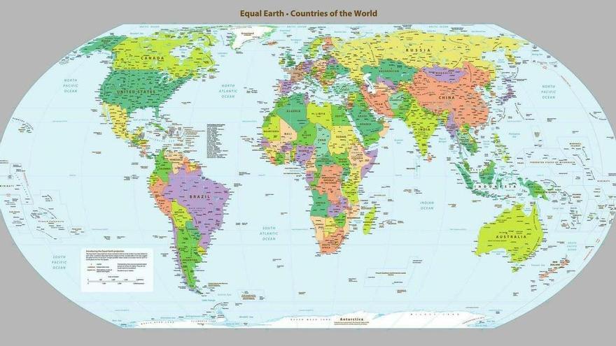
The UN approved a new world map that replaces the old Mercator projection, considered totally incorrect. This change represents a significant update in the official cartographic representation used by the organization.
With this new projection, Spain appears larger than in conventional maps. In contrast, other European countries, starting with France, appear smaller than they are accustomed to appearing in traditional cartographic representations.
The Mercator projection, which was used for centuries, distorts the real size of territories, especially those closer to the poles. This new representation seeks to offer a more precise view of the actual dimensions of countries.
This is not the only change that can be observed in this modification of the world map approved by the UN.