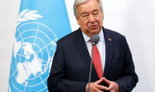
The United Nations Organization decided to update the cartographic representation of the planet, encouraging maps that show the actual dimensions of the continents more accurately. This change aims to correct historical distortions present in traditional projections, such as the Mercator projection, which exaggerated the size of countries near the poles and reduced the proportion of territories near the equator.
The new cartographic representation brought to the surface a more complex issue than simply visual adjustments. With the alteration of geographic proportions, some countries that considered themselves "smaller" now have different visibility on the global map, which has caused discomfort among certain nations.
The central issue that emerged with this change is related to territorial disputes. The new way of representing the world highlighted the question of who certain territories belong to, fueling diplomatic tensions between countries with claims over the same geographic regions.
The UN's decision to promote a more realistic representation of the planet ended up revealing deep political fissures, demonstrating that cartography is not merely a technical tool, but also an instrument with significant geopolitical implications for the distribution of power on the international stage.