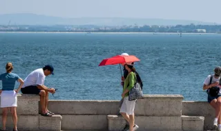
Intense heat will continue to dominate the weather in mainland Portugal over the next few days, with temperatures far above usual for this time of year. A very hot air mass, favored by the strengthening of an anticyclonic ridge over the Iberian Peninsula, should maintain stable weather and elevated temperatures, with maximums that could approach 38°C in the Centre's interior, Ribatejo and Alentejo. The thermal anomalies will be particularly significant, possibly reaching values between 8 and 10°C above normal in the North and Centre, and between 7 and 8°C above average in the South.
According to Meteored website forecasts, temperatures near 33°C are expected in Vila Real, 34°C in Castelo Branco and between 35 and 36°C in areas such as Santarém, Portalegre, Évora and Beja. At the surface at 1500 meters altitude, values could exceed 20°C and reach 23 or 24°C in the country's interior, contributing to pronounced warming near the ground.
From Tuesday, the first signs of change begin to emerge, with the arrival of less hot air causing a drop in temperatures, initially more evident on the North and Centre coast. It will be on Wednesday that the change in atmospheric circulation will become more evident, when the wind shifts to north and northwest, allowing the entry of a less hot air mass and favoring a more generalized drop in temperatures.
The change will not only be felt in temperatures, but also in the wind, which should intensify, especially in the Centre, on the highlands and in some areas of the coastal strip, with gusts that could approach 50 km/h. The periods of more intense wind could persist until Friday, although no significant precipitation is expected until the end of the week.