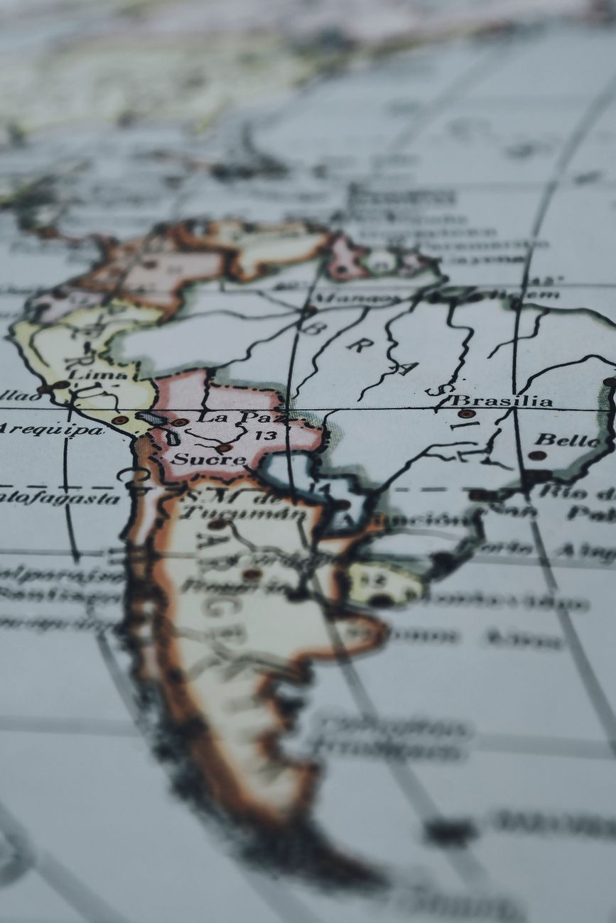
The United Nations General Assembly voted on Friday in favor of a resolution led by several African countries to adopt a new world map that enlarges the African continent and reduces North America and Europe. The goal is to achieve a "more accurate representation" of continental landmasses.
The resolution was presented by Togo and obtained the support of 164 member countries. The United States voted against the measure, while six other countries abstained: Estonia, Georgia, Lithuania, Republic of Moldova, Serbia, and Ukraine.
For several centuries, the cartographic projections used in textbooks, in the media, on digital platforms, and in official documents have not accurately reflected the true extent of the continents. The map currently in use dates back to the 16th century.