The United Nations General Assembly approved an initiative to adopt a new world map that represents the real dimensions of the African continent. The proposal was promoted by Togo and had the support of the African Union.
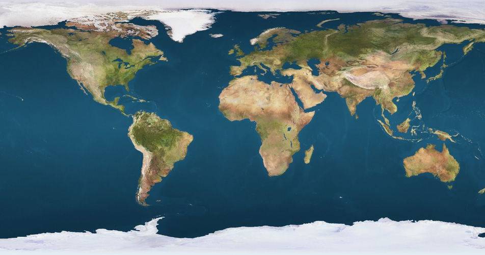
The main objective of this change is to correct the distortions existing in traditional maps, which undersize the regions located south of the Equator. These distorted representations have historical roots in the Mercator projection, developed in the 16th century.
A concrete example of this distortion can be observed in the comparison between Africa and Greenland. In conventional maps, the two territories appear with similar sizes, when in reality Africa is 14 times larger than Greenland.
The approval by the UN assembly represents a significant step towards a more precise and equitable geographical representation of the world, especially with regard to the African continent and other regions of the southern hemisphere.