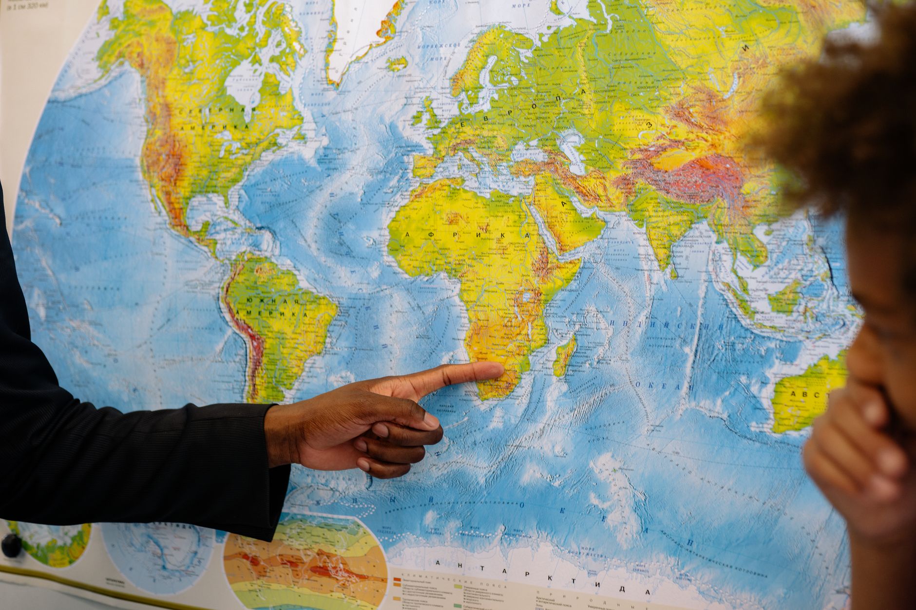
French diplomacy announced on Friday (4) that it will abandon world maps using the Mercator projection, arguing that it contributes to visually overvaluing certain regions at the expense of others, particularly Africa. France is thus joining an initiative by the African Union, which, with French support, will present a document to the UN to promote fairer or more scientific cartographic projections that are more faithful to the actual size of continents.
The difficulty with maps lies in how to translate the spherical shape of the Earth onto a flat surface, a cartographic challenge that has always existed. The geographer, cartographer, philosopher, and theologian Gerardus Mercator, born in 1512 in what is now Belgium, presented the projection bearing his name in 1569, with the aim of facilitating maritime navigation. However, his map is Eurocentric, meaning it places Europe at the center and distorts the relative size of continents, causing Africa to appear smaller than it actually is in relation to Europe.