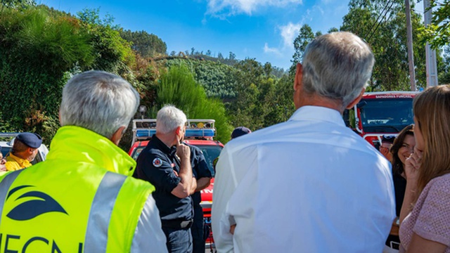
The Madeira Government invested in acquiring high-precision tools, including professional drones, to map forest areas after the rural fire of August 2024. The Institute of Forests and Nature Conservation indicated that these equipment allow obtaining "levels of detail previously unattainable" in the cartography of the affected zones.
This investment comes as a complement to the unmanned aerial means already existing in the region, expanding the technological capacity available for monitoring and environmental assessment operations.
According to the Institute, the new tool will prove strategic to substantially reinforce the response capacity in the areas of monitoring, geographic data collection and assessment of forest areas, allowing a more detailed and precise monitoring of the Madeiran forest conditions.