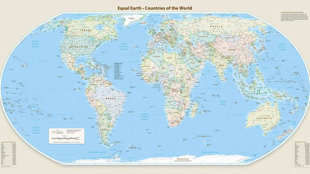
Did the UN change the world map or the way we look at it?
This is how we learned to see the world in school: a world map hanging on the classroom wall, with Europe at the center, Africa below, and Greenland appearing almost as big as the African continent.
And this is how we continued to see it practically everywhere - in atlases, in books, in newspapers, on television, in classrooms, and later on computers and mobile phones. Whatever the country or place where we found a world map, the image was, with minor differences, always the same.