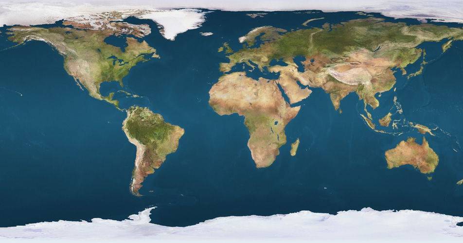
The Organization of the United Nations voted this Friday on an initiative to adopt a new world map showing the true size of continents, particularly Africa. The proposal was presented by Togo and has the support of the African Union.
The main objective of the initiative is to correct the distortion present in traditional maps, where regions located south of the Equator appear systematically undersized. This distortion results from the Mercator projection, a cartographic representation system created in the 16th century that tends to enlarge areas closest to the poles.
One of the most evident examples of this distortion is the comparison between Africa and Greenland. In conventional maps, the two territories appear with similar dimensions, when in reality Africa is 14 times larger than Greenland. This imprecise representation has been criticized for decades by geographers and cartography specialists.