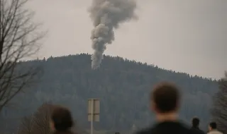
Rescue teams continue to search for missing people after the catastrophic floods that hit the border between Nepal and China. The catastrophe caused significant devastation in the region.
Scientists are analyzing satellite images to investigate the causes of the tragedy. The images revealed the collapse of a rock and a glacier that triggered the floods.
Experts are using these images to better understand what happened and to assess the total extent of the damage caused by the catastrophe.
This analysis work provides important clues about the factors that contributed to the occurrence of the floods on the border with Tibet.